
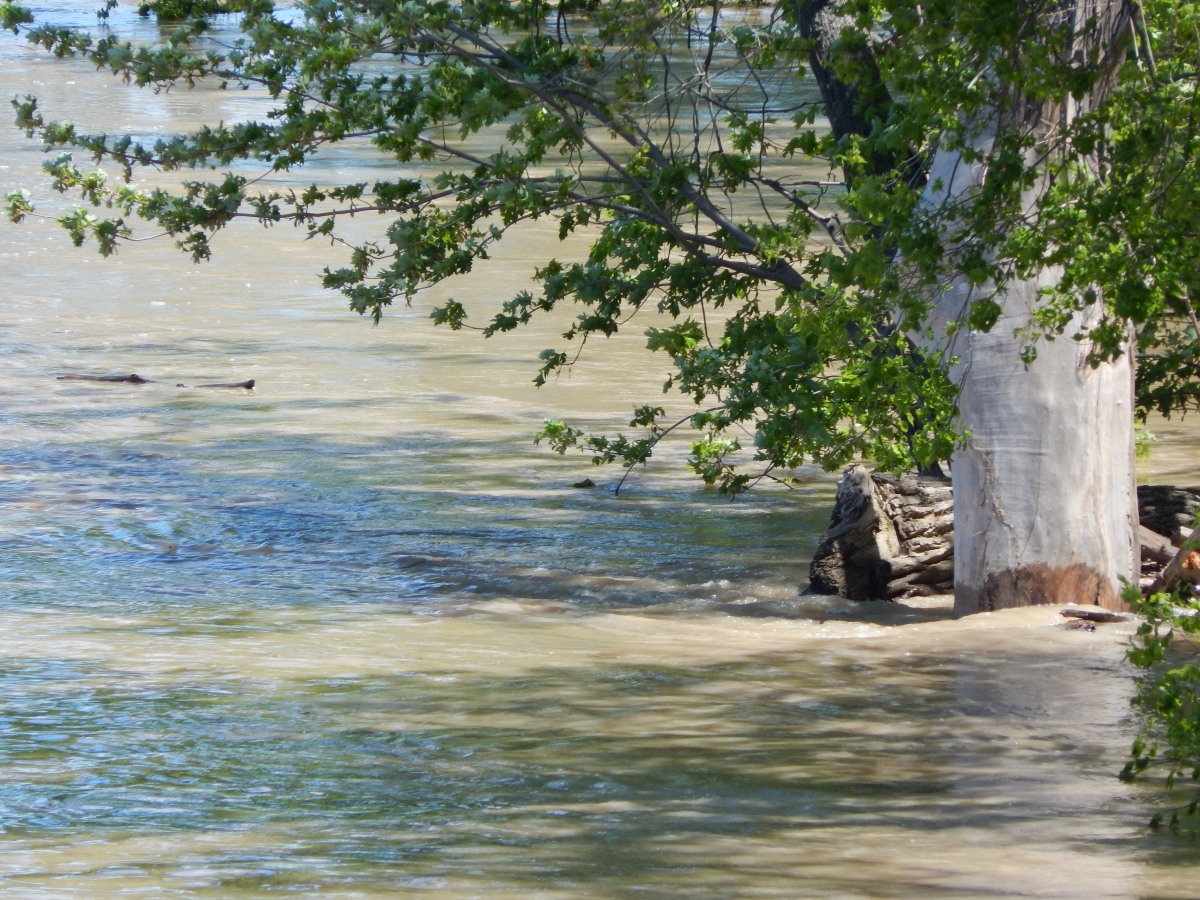


The first photo is of the Maumee River at the South Side, as residents refer to it, in flood stage. The South Side is the portion of the city South of the bridge in Napoleon, Ohio. The bridge crosses over the Maumee, which separates the city, North and South.
In the middle are two photos of the North side of the bridge, where the embankment that falls to the Maumee River is very much lower than that on the South Side. The North properties on Front Street flood quite easily when the river rises rapidly following the type of rainfall that occurred this Spring. Some years, the river water floods not only those properties, but all of Front Street, as well. While that did not occur this year, property owners were keeping a close look on the situation for several days, until the flood waters slowly began to recede.
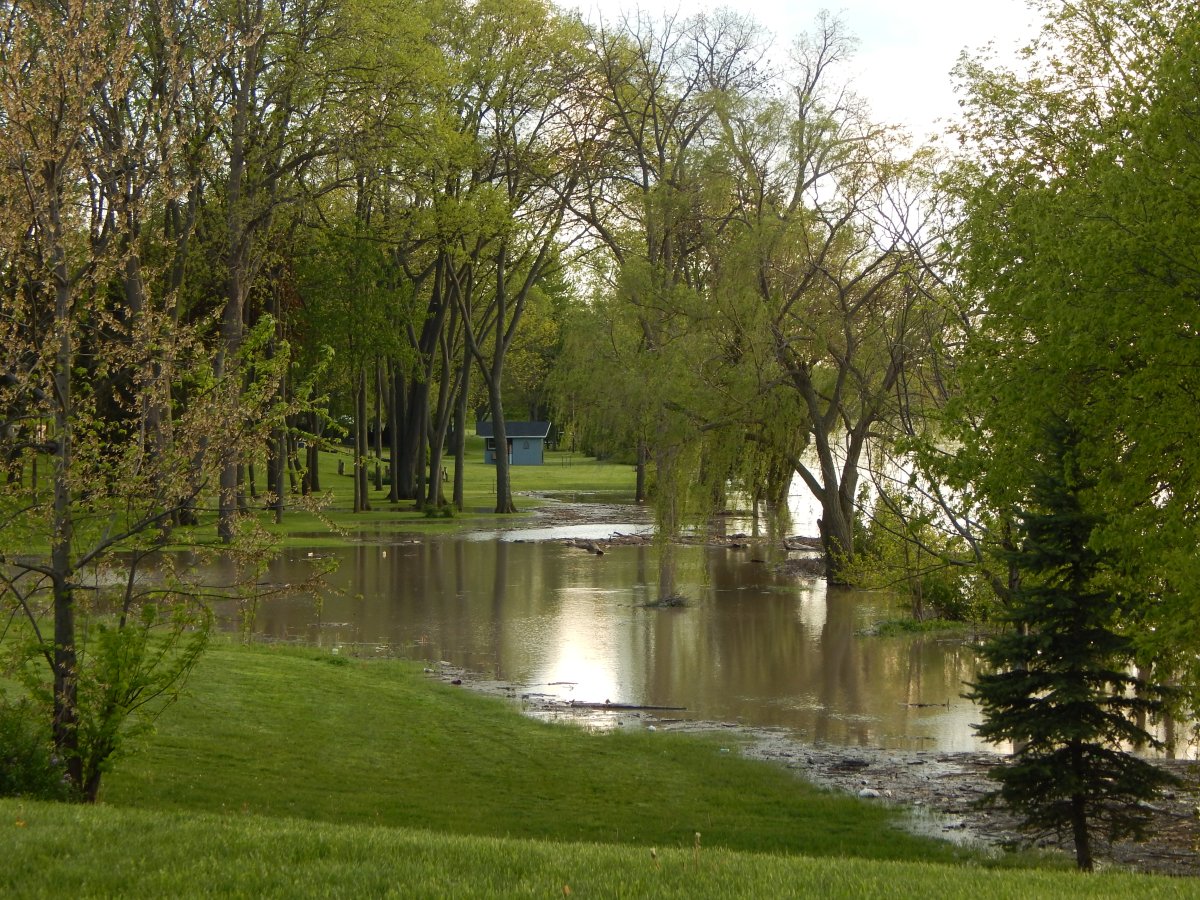
The last photo is of the South Side right at the south end of the bridge, looking West, where backyards catch a lot of the flood water. These yards take a very steep incline (left) up to property houses and garages, so those buildings rarely get water-logged except for unsealed basements.
The Maumee River runs deep and has very strong currents that flow Northeast to Toledo and Lake Erie.
